«We are downright dependent on EU projects»
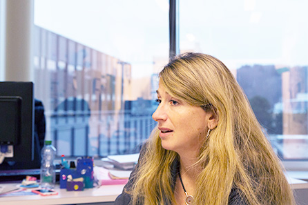
Adrienne Grêt-Regamey, Professor of Planning Landscape and Urban Systems at ETH Zurich, analyses how landscapes change and with them the ecosystem services existentially important for all of us. For her research she depends on projects outside the borders of Switzerland.
Man is a homo faber, a planner, a doer and maker. He bends the natural world, which has existed billions of years before his time, so that he can live in it. He makes his own world. The homo faberbuilds cities, bridges, walls and streets, he lays out fields and gardens, he creates works of art and technical devices. These makings often outlive many generations and it is their task to stabilise human life and to generate identity and familiarity. Thehomo faberuses and changes nature for the creation of his «places». From nature, he takes the material he needs, for example ground, wood, clay and iron for the construction of houses, mineral oil for the production of energy, he clears forest land for his crop fields, he canalises groundwater for the extraction of potable water, he creates places of encounter (town parks), of sports (ski lifts and indoor aquatic centres) or of contemplation (churches). The strong increase of man’s interest in nature and its resources over the past roughly 200 years has put nature under great pressure.
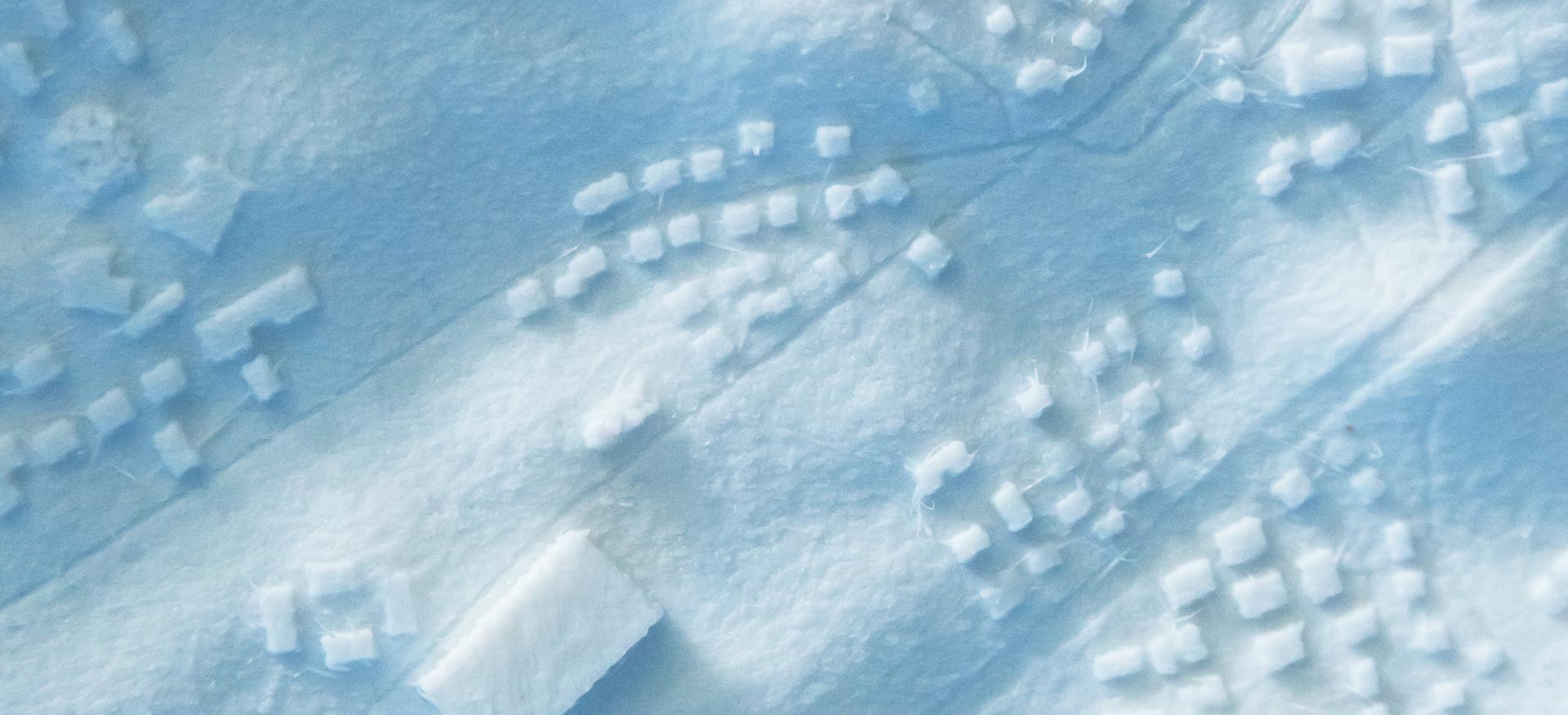
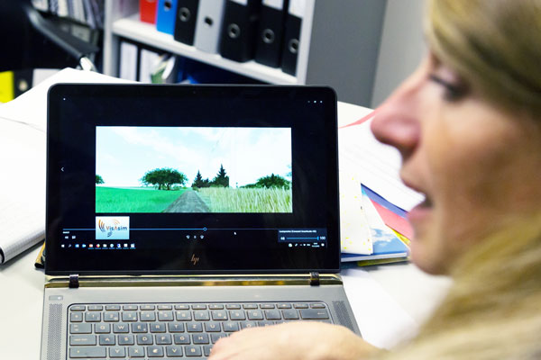
With his actions, man shapes the landscape.«This change is perceptible,»Adrienne Grêt-Regamey states. The 46-year-old environmental scientist is an expert in landscape changes. By means of technical-visual methods and models she analyses how landscapes change by the hands of man in temporal and spatial dimension — how they have changed in the past, how they might change in the future, the consequences thereof and how one could navigate these changes.
The fading sense of place due to urbanisation
We laypeople notice significant landscape changes especially when comparing old and current photographs. We then notice for example that trees and meadows were replaced by industrial centres and shopping plazas or parking facilities, that the once meandering creeks and rivers now cut trenchantly through the inhabited landscape, that mountain sides are now equipped with cableways, ski lifts and avalanche protection nets and hills with mobile phone aerials or wind turbines. What is more, when we compare old and current photographs of different countries we come to see that the once distinct populated landscapes are beginning to look alike: Population increase and urbanisation have given rise to standardised residential and business areas, industrialised agriculture to monocultures. Adrienne Grêt-Regamey says that mechanisation and urbanisation threaten the landscape variety and offer new social and environmental problems. Thus, our great-grandparents usually felt a sense of belonging to a village, they knew the changing faces of the mountains in their vicinity, when the river would rise and become dangerous and where the most ancient linden tree was to be found. Today however, «people are losing their sense of place,»as the researcher observes. They no longer feel connected to a landscape. This is why they lack any reference to the so-called ecosystem services.
Ecosystems in fragile condition
The long-term provision of ecosystem services is a chief point in Adrienne Grêt-Regamey’s research works. This term includes all the services provided by nature (the ecosystems) for the use of man. These are the services of nature that are advantageous for the people, it is not about the intrinsic value of nature itself but about the value nature represents for mankind. A forest, for example, provides recreation, wood and protection against avalanches; the bees‘ service entails pollinating fruit trees; water provides drinkable water and the soils offer themselves for the cultivation of vegetables and cereal or the construction of a house.
In 2005, the UN’s «Millennium Ecosystem Assessment» concluded that 60 percent of the ecosystems surveyed are in a state of destruction. During the past 50 years, the ecosystems and their services had been exposed to greater dangers and heavier stresses and strains than ever before in the history of mankind, according to the alarming conclusion of the assessment. For this reason, as Adrienne Grêt-Regamey explains, we need an «active and creative landscape planning process»in order to save the ecosystem services in the long run, hence also for the generations to come, and to promote the development of «resistant landscapes».
Downright dependent on EU projects
The ETH Zurich researcher addresses this task, she who studied environmental sciences back in the 1980s «because I wanted to make the world a better place.» Together with her team of 24, she develops methods, models and tools for the promotion of deliberate landscape planning based on ecosystem services. For their research they are «downright dependent on research projects outside of Switzerland,»emphasises Adrienne Grêt-Regamey. She has already participated in seven EU projects and «always gladly so.»Currently, she is finishing a large EU project involving roughly 50 partners. She enjoys the «Ecopotential» project, which comes to an end this autumn after four and a half years. «Again, we had the opportunity to establish new and exciting partnerships,»she says. For although the projects themselves might be large, one always works closely in smaller groups with only a few researchers.
EU projects are attractive for young researchers
She claims that for the young talents, too, these EU projects are attractive and important. «Here, they can establish and expand their own network, Switzerland’s researcher community is small.» Establishing international relationships is much easier by means of a collaborative project, where constant exchange is mandatory, than during large conventions. For example, her PhD student found her co-reviewer during this project, Adrienne Grêt-Regamey recounts. It is obvious that the junior researchers lie close to her heart and that she promotes their independence. The ETH Zurich Professor has repeatedly sent her PhD candidate, participating in the «Ecopotential» project, to meetings and conferences all by herself, has passed the responsibility on to her: «She got the opportunity to spread her wings.» EU projects usually deal with applied research, hence the young scientists experience the practical application of theories, they are working on a product. «Thanks to the EU projects, we not only educate academics but also scientists with experiences in applied research.»
A final product was also the aim of «Ecopotential». Adrienne Grêt-Regamey and her PhD candidate worked on the development of a high-tech tool for the visualisation of ecosystem services. By means of remote sensing data, the previously determined services of nature and landscape changes are explicitly gathered in spatial scales. The satellite data is supplemented with observations on site. Remote sensing data can be used, among other things, for the delineation of a «forest». The corresponding forest ranger may then complete the satellite data gathered with his knowledge about the forest’s condition or its biodiversity. This acquisition of data from above and below shall ultimately create maps with landscape changes and the associated ecosystem services. The intention is to inform the local users about the various ecosystem services‘ conditions, so that they can act based on this knowledge (landscape planning). «The aim of this project is a tool box available to everyone with which the remote sensing data can be linked directly with the observations made on site,»the researcher explains. The tool is customisable and can be adapted to the ecosystems and ecosystem services one wishes to analyse. «For example, a PhD candidate from France used this method for the mapping of whales in the Mediterranean Sea.» Adrienne Grêt-Regamey, in turn, compared for this project the ecosystem services of the Swiss National Park in the Engadine region with those of the Dischma valley in Davos. As the national park is barely inhabited, the ecosystem service «protection from avalanches»has no priority. However, the more populated and agricultural Dischma valley considers the forest’s ecosystem service towards the protection from avalanches as an issue of prime importance. The mapping by means of remote sensing data and the knowledge on site shall contribute to recognise the changes of the forest (for example due to climate change) or of the soils (perhaps through erosion) so that adequate steps can be taken. In the future, the toolbox shall benefit landscape and urban planners, ecosystem managers, forest rangers or agricultural authorities and many more.
Adrienne Grêt-Regamey attaches great importance to the connection between technology (such as satellite data) and local knowledge. For her, people are a part of the landscape and the landscape is a part of them. The locals know more about the history and the condition of their «places»than the satellite above them that knows how to gather but not how to value. This is why she hopes that the development of this operational tool for the targeted change of landscape contributes to provide a sense of place for the people. She says that especially in urban areas the focus for decades has been on the creation of uniformed spaces for housing, working and consuming. She herself is grateful for the privilege of growing up in a «place»in the Canton of Fribourg that rooted her in the surrounding landscape. Adrienne Grêt-Regamey feels connected to the mountains, likes to hike and ski and being in the outdoors. No wonder that the change of landscape is a matter very close to her heart. Today, she is called in as an expert by the political environment, spatial planning and energy committees. The Professor for Planning of Landscape and Urban Systems is glad about this. The political authorities have realised that spatial planning is not merely about quantity but likewise about quality, that the soils are not merely building land but offer protection from floods and enable biodiversity. Today, there is a discussion whether the soil quality should be considered when building outside the building zone. «This is exactly the kind of change that tells us that our deliberations and research findings are indeed received after all.»
Interview with Adrienne Grêt-Regamey (in German)
Adrienne Grêt-Regamey
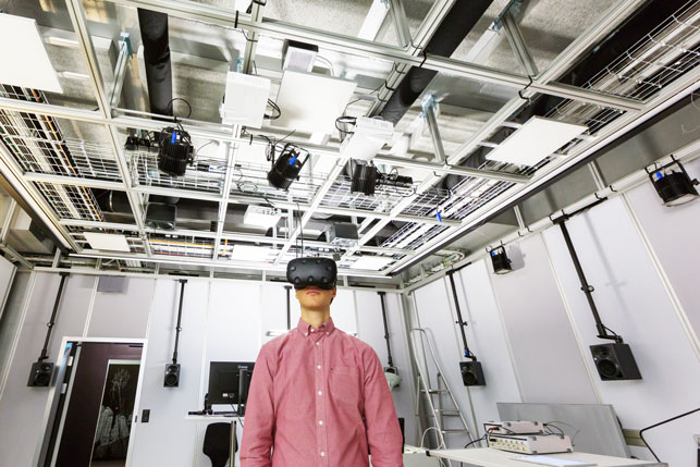
Since 2014, Adrienne Grêt-Regamey has been Full Professor at the Chair of Planning of Landscape and Urban Systems PLUS of ETH Zurich. After her studies in Environmental Sciences at ETH Zurich, she worked as a consultant for an environmental agency in the United States. In 2003, she was awarded the Marie Heim-Vögtlin Grant of the Swiss National Science Foundation for her dissertation at the US National Center of Atmospheric Research in the Environmental and Societal Impact Group. For the completion of the thesis, she returned to ETH Zurich. Her research focuses on understanding how the interactions and/or actions of humans shape landscapes, using different land-use decision models in forecasting and backcasting modes. For fostering participatory landscape planning, she investigates in an audiovisual lab how people perceive the landscape and react to them emotionally. By means of 3D visualisations and simulations of potential landscape changes that also involve sounds (for example of planned wind turbines) she developed new tools for the political decision making that appeal to the senses and emotions as well as the mind. In 2017, the researcher received an ERC Starting Grant for her project «Globescape».
Discover more:
Website of the «Ecopotential»project:
https://cordis.europa.eu/project/rcn/196809/factsheet/en
Website of the «Globescape» project:
http://www.plus.ethz.ch/research/forschungsprojekte/GLOBESCAPE.html
